When children come here during the school terms you wonder how their parents have arranged it. This week I found out – it’s called Home Schooling. It was ‘a Geography Field Trip’, the parents said.
Their trip seemed mainly to involve shopping in town and downhill skiing, but maybe that’s what they teach in Geography these days – how to navigate around the hiking and walking section in ‘Inter Sport’, and the skiing qualities of snow at minus 5 degrees.
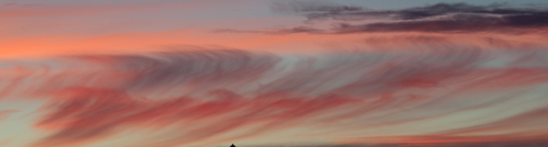
However, today our own Geography Field Trip was more traditional. It involved a map. We like maps, and look at them a lot, but we’ve had some trouble connecting the maps with the landscape, so we determined that today we really would Name That Mountain. We stopped at many lay-bys and tried to identify a familiar peak in the distance, and we looked at what the map could tell us about the landscape around.
It was a revelation. Roads are only a fraction of the story – a landscape is really understood through its rivers, valleys, lakes and mountains. In this landscape – parts of which are inaccessible all year round and other parts accessible only for short periods – it’s quite hard to understand how it all links up, until you look at a map.
Being able to name a mountain or a river valley imprints it in the memory, and makes it easier to see what you are looking at when you look out over a wide landscape. Names here can be in Swedish, Finnish, or Sami, or all three. Some of these names are very hard to remember – such as Njuohcamjävri, or Vuohnajokka – and others, like Bergfors, are fortunately much easier. After a while you work out that a ‘jävri’ is a lake, a ‘jokka’ a river, and a ‘varri’ a mountain. We finally got to put the real name on the mountain we’ve always called ‘the cloud stealing mountain’ (for obvious reasons). Now we know it’s Nagirvarri we not only have its name but we also now know that its nearby lake is called Nagirjärvi and its connecting river valley is Nagireatnu. And equally important, we now know where they are.
We had another purpose with the map. This is a road we’ve driven along very many times and travelling along it recalls our history too. I wanted to find a way to record the parts of the journey that have particular memories for us. I was thinking of aboriginal ‘songlines’, which I read about in Bruce Chatwin’s book. I think with all its memories over the years I could ‘sing’ the story of the E10 to Riksgränsen.
Some of the memories are places we set out from walking, or exploring. Others are where we had an encounter, perhaps met and talked to someone memorable. Or where we saw an animal or a bird. Or where we suddenly remembered we hadn’t switched off the coffee machine and had to return home in a hurry. Small insignificant memories, you might say, but together they represent the shared experience we relive every time we drive along the road.
Our field trip was both Geography, and History, Map Reading and Storytelling. We returned home rich in thought and knowledge.
